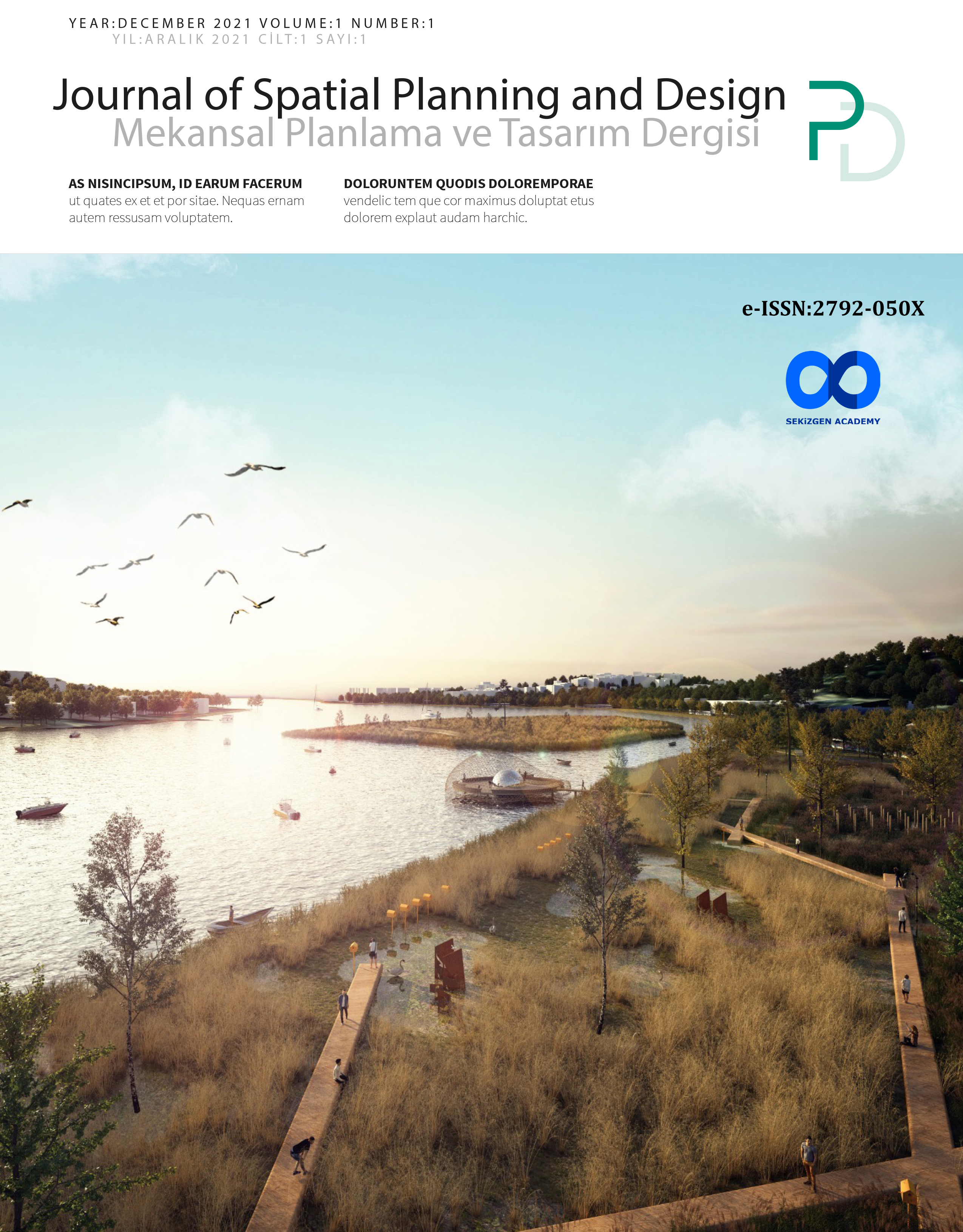
Korunan Doğal Alanların CORINE Verilerine Göre Arazi Değişim Analizi: Göksu Deltası Örneği
DOI:
https://doi.org/10.53463/splandes.2021000079Anahtar Kelimeler:
Arazi Kullanımı, Qgis, Corine, arazi örtüsü değişimiÖzet
Korunan doğal alanlar sınırlı kaynaklara, doğal, kültürel ve somut olmayan varlıklara sahiptir. Bu yüzden bu alanların üzerindeki baskı da artmaktadır ve bu baskılar arazi kullanımını/arazi örtüsünü etkilemekle birlikte doğal ve kültürel peyzajların değişimine neden olmaktadır. Günümüzde teknolojinin de gelişimiyle bu değişimlerin analizini uzaktan algılama ve coğrafi bilgi sistemleri ile rahat bir şekilde saptamamız oldukça mümkündür. Arazi örtüsündeki değişim analizlerinin ortaya konulması sürdürülebilir-planlı arazi kullanım deseninin oluşturulmasına destek sağlayabilecektir. Bu çalışmada Mersin İli’nin Silifke İlçesi’nde bulunan aynı zamanda Korunan Doğal Alan olmakla birlikte Özel Çevre Koruma Bölgesi statüsüne sahip Göksu Deltası ve yakın çevresinde bir çalışma sınırı oluşturulmuştur. Çalışma alan sınırının 1990-2000-2006-2012-2018 yılları arasında gerçekleşen arazi örtüsü/ arazi kullanımlarındaki zamansal değişimler, Corine verileri aracılığıyla arazi örtüsü haritaları QGIS 3.14.16 kullanılarak analiz edilmiştir.
İndirmeler
Referanslar
Yayınlandı
Sayı
Bölüm
Lisans
Telif Hakkı (c) 2022 Mekansal Planlama ve Tasarım Dergisi

Bu çalışma Creative Commons Attribution-NonCommercial 4.0 International License ile lisanslanmıştır.


